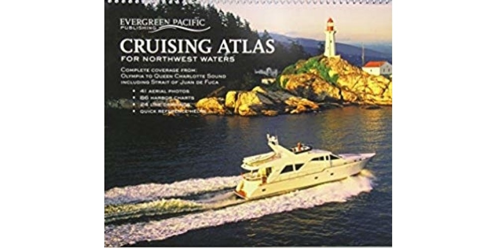
• Cruising Atlas For NorthWest Waters
This large scale, large coverage atlas contains the reproduction of government charts covering from Olympia, WA, to Queen Charlotte Sound (following the "inside passage" on the east side of Vancouver Island). It consists of 88 overview charts and 86 detailed charts of harbors, bays, coves, inlets, and passages -- including a two-page chart of Lake Washington.

Forty-one aerial photos provide additional navigational help. This atlas, since its much smaller inception in the early 1950’s, continues to be a handy reference for anyone who enjoys the waters of the Pacific Northwest.


Write a review

Note: HTML is not translated!
    Bad           Good

Cruising Atlas For NorthWest Waters

  • Brand: Books
  • Product Code: NW Waters
  • Online Price: $69.99


Tags: Cruising Atlas For NorthWest Waters, ,

Featured

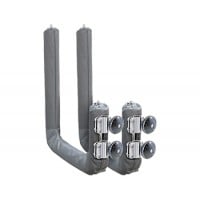
Magma Boat Rail Mounted Kayak Rack

Magma Boat Rail Mounted Kayak Rack

Magma Boat Rail Mounted Kayak RackLooking for the ultimate kayak mounting solution? This kit has eve..

$329.99 $351.64

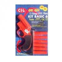
Orion Flares 12 Gauge Twin Star Gun Kit 6 Pack

Orion Flares 12 Gauge Twin Star Gun Kit 6 Pack

Orion 12 Gauge Twin Star Gun Kit (6 pack)The perfect signal to build your safety kit, when combined ..

$149.99 $169.99

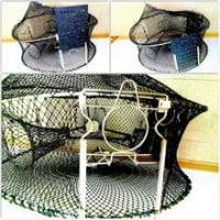
Flex Fold Combination (Crab and Prawn) Trap

Flex Fold Combination (Crab and Prawn) Trap

Flex Fold Combination (Crab and Prawn) TrapThe ALL-IN-ONE Combo Trap has the versatility to quickly ..

$199.99

All The Best Boating Specials In Canada